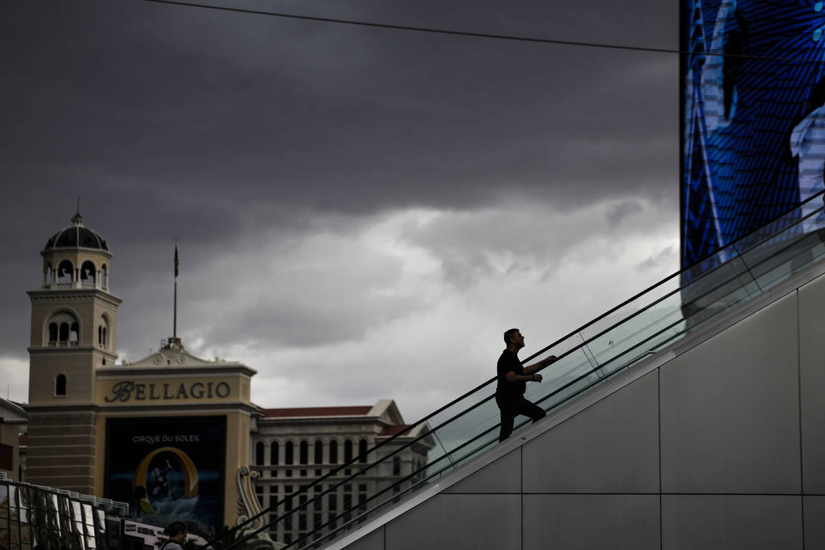
A week after its hottest week of the year, Las Vegas could be heading into an active week of monsoon activity.
There’s a 20 percent chance of thunderstorms today and Tuesday, the National Weather Service said. And there could be more storm activity by the end of this week.
The summer monsoon season in Southern Nevada runs from late June into September. Julie Phillipson, lead meteorologist at the NWS, said it is hard to say whether the region will see an increased number of thunderstorms this summer, but it is possible given the current setup in the atmosphere.
“There is a strengthening El Niño right now, so that could indicate a more active Eastern Pacific tropical storm season, which could give us more opportunities for significant monsoon events, but right now we have to wait and see,” Phillipson told the Review-Journal last week.
The National Oceanic and Atmospheric Administration is forecasting a 40 percent to 50 percent chance of above-normal precipitation in Southern Nevada this month and a slightly lower chance for above-normal precipitation through September. Normal precipitation in Las Vegas averages 0.38 inch of rain in July, 0.32 inch in August and 0.32 inch in September, according to data from NOAA.
Weather facts
— On June 23, Reid recorded 0.02 inches of rain, breaking a rainless streak of 124 days. It was the only rainfall of the month.
— Last month was the seventh-warmest June on record, with an average temperature of 91.1 degrees, the NWS said. It was the first June since June 2022 that did not see a temperature of 110 or above.
— Las Vegas hit 100 degrees for the first time this year on May 8.
— It hit 98 on March 25 at the airport, the hottest March day ever in Las Vegas. The valley saw eight consecutive days of record-breaking heat that month, the hottest March in history.
Contact Mark Davis at mdavis@reviewjournal.com.