
Locals pedal for recreation, to keep healthy, socialize with friends and family — or to simply experience the joys of bicycling. Others ride to commute to work in the expanding Las Vegas Valley.
In either scenario, transportation officials have stressed precautions to keep safe during rides. They include wearing a proper-fitting helmet, wearing bright clothes and equipping bikes with lights for night sessions. Riders should check their bike equipment before heading out and paying attention to their surroundings.
Additionally, there are many miles-long trails riders can use to minimize contact with vehicles.
More ambitious riders can go the extra mile to jump from trail to trail. Areas with extensive riding opportunities include Sunset Park and Clark County Wetlands Park.
Here are some of the trails located across Clark County.
Beltway trails
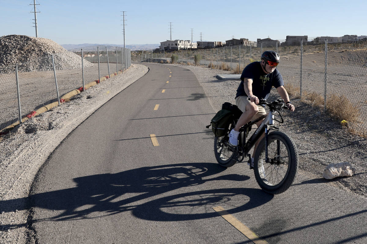
The five-mile I-215 West Beltway Trail runs along the highway between Charleston Boulevard and Tropicana Avenue, and beyond.
“This unique trail provides not only recreation opportunities, but it serves a dual role as an alternative transportation route for employees that bike to work in this part of the Valley,” according to Clark County.
About a mile shorter, the I-215 East Beltway Trail runs between Warm Springs and Pecos roads, the county said.
More information on these and other trails can be found on Clark County’s trail projects website.
City of Las Vegas
Las Vegas offers more than 100 miles of bike trails throughout the city, including the Bonanza, Angel Park, Las Vegas Wash trails and the Gilmore-Cliff Shadows Trailhead. You can find a downloadable map on the city’s website.
The Regional Transportation Commission’s Bike Share program rents electric bicycles in the downtown Las Vegas area.
Henderson trails
The Pittman Wash Trail extends from Pebble Park to the Arroyo Grande Sports Complex.
The city describes the path as a scenic corridor that follows the wash through neighborhoods and down to the city’s award-winning sports facility.
The Amargosa Trail sits between South Eastern Avenue near St. Rose Parkway and Horizon Ridge and Paseo Verde parkways.
Cyclists with appropriate tires can continue east on another 1.6 unpaved miles toward Mission Drive.
“This urban trail connects the foothills of the McCullough Range to some of Henderson’s most iconic parks and facilities including Paseo Verde Park and Henderson Multigenerational Center,” the city said.
Downloadable maps and more information can be found on the city’s website.
North Las Vegas
The city has more than 70 miles of trails, according to North Las Vegas. About 40 of those miles encompass the Las Vegas Wash Regional Trail System and the Aliante Trail System.
Some of the paths run adjacent to roads.
“Trail amenities include landscaping, lighting, trash cans, benches, doggie (trash) stations, trail nodes with shaded rest areas and trail heads with shaded picnic areas, drinking fountains and off-street parking,” the city said.
More information, including a map of bike trails is on the city’s website.
Contact Ricardo Torres-Cortez at rtorres@reviewjournal.com.